Mapping our land more clearly and colourfully
for better analysis and visualisation

![]()
What's New ![]()
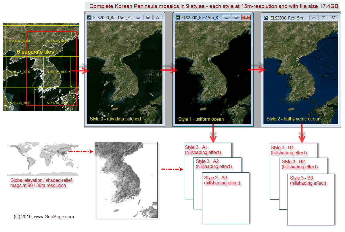
Customising regional imagery mosaics: 15m-resolution Korean Peninsula imagery in 9 styles
Cloud-based Geospatial Processing Services |
||
 |
August 2020: Extract Features from High-resolution Imagery: An AI-based Processing Service We use new AI and deep learning to extract features of the built environment (e.g. buildings, vegetation - trees or grass, water and roads) from high-resolution imagery for very large geographic regions. You may provide your own high-resolution digital imagery for AI-based image analysis. Typically, inputs are in GeoTIFF format (for raster imagery) and outputs in Shapefile format (for vector data). |
|
 |
February 2020: Turn your High-quality Elevation Data into Feature Layers and High-resolution, Beautiful Tile Maps, ready for Web & Desktop GIS Mapping High-resolution tile maps on terrain and hydrology include:
API-enabled tile maps can be easily integrated with web mapping apps (those using Google Maps APIs, Leaflet APIs, OpenLayers APIs, Mapbox APIs, etc.) or desktop GIS, by simply updating related URLs or file paths. You'd be amazed by how much the usual DEM data can be transformed into and effectively visualised. |
|
New & Unique Software Tools |
||
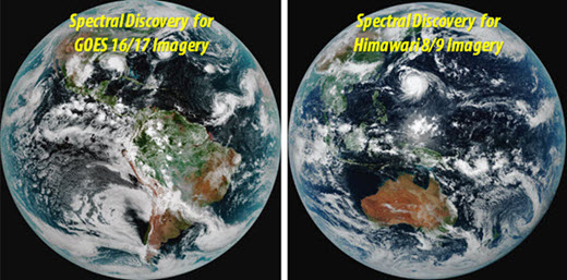
January 2021: Spectral Discovery software developed to rapidly process near real-time JMA Himawari 8/9 and NOAA GOES 16/17 imagery, and tiled web maps available for web & mobile apps
|
||
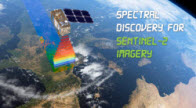 |
March 2020: DOS- and GUI-based Spectral Discovery for Sentinel-2 imagery Version 3.1 updated - Rapid band combinations, image stretching, image pan-sharpening, and exploratory image feature extraction tools for analysing 10m-, 20m- and 60m-resolution Sentinel-2 imagery, with 3 simple button clicks | |
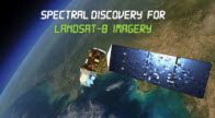 |
March 2020: DOS- and GUI-based Spectral Discovery for Landsat-8 imagery Version 3.1 updated - Rapid band combinations, image stretching, and image pan-sharpening tools for making beautiful and detail-rich 15m-resolution Landsat-8 imagery composites, with 3 simple button clicks |
|
|
||
 |
1. Global
Satellite Imagery Mosaics / Basemaps - Earth Land
Surface 2000 Ver. 3
|
|
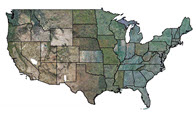 |
2. U.S. Unique state-level imagery mosaics at 1m-resolution for 48 contiguous U.S. states
|
|
|