Download
We promote some easy-to-use yet powerful image analysis software in a hope that they will help explore our innate curiosity about the amazing images of the Earth as seen from space.
1: For Popular Landsat-8 and Sentinel-2 Medium-resolution Satellite Imagery
GUI- and DOS-based tools
- Step 1: Landsat8_RGB.exe
- Step 2: Landsat8_Stretch.exe
- Step 3: Landsat8_Fuse.exe
- Step 4: Landsat8_Feature.exe
GUI- and DOS-based tools
- Step 1: Sentinel2_RGB.exe
- Step 2: Sentinel2_Stretch.exe
- Step 3: Sentinel2_Fuse.exe
- Step 4: Sentinel2_Feature.exe
Software installation instructions
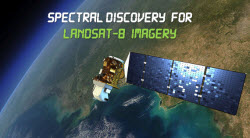
Step 1: Install Microsoft VC++ 2015 Redistributable x86 library (vc_redist.x86.exe) the software needs. (1) It is already included in the software download, and just double click vc_redist.x86.exe for its installation; (2) It is also available at Microsoft Download Centre; (3) Alternatively, it can be directly downloaded here (file size 13.1MB). If your computer already has this library, there is no need for its fresh installation.
Step 2: Required for processing compressed Landsat-8 data downloaded from Amazon Web Services (AWS): Install the most popular open-source GIS software QGIS. Spectral Discovery for Landsat-8 Imagery will use the GDAL_translate.exe tool included in QGIS to convert downloaded Landsat-8 data from compressed GeoTIFF format to uncompressed, analysis-ready GeoTIFF format. (Ignore this step if a user has installed QGIS already, or has made such conversions already with other geospatial software.)
Step 3: Double click the main setup file to install DOS- and GUI-based Spectral Discovery for Landsat-8 ImageryStep 4 (optional): Install free Google Earth Pro. Outputs in GeoTIFF format can be readily viewed in QGIS or Google Earth Pro.
Software installation instructions
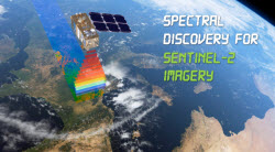
Step 1: Install Microsoft VC++ 2015 Redistributable x86 library (vc_redist.x86.exe) the software needs. (1) It is already included in the software download, and just double click vc_redist.x86.exe for its installation; (2) It is also available at Microsoft Download Centre; (3) Alternatively, it can be directly downloaded here (file size 13.1MB). If your computer already has this library, there is no need for its fresh installation.
Step 2: Install the most popular open-source GIS software QGIS. Spectral Discovery for Sentinel-2 Imagery will use the GDAL_translate.exe tool included in QGIS to convert downloaded Sentinel-2 data from compressed JPEG2000 format to uncompressed, analysis-ready GeoTIFF format. (Ignore this step if a user has installed QGIS already, or has made such conversions already with other geospatial software.)
Step 3: Double click the main setup file to install DOS- and GUI-based Spectral Discovery for Sentinel-2 Imagery
Step 4 (optional): Install free Google Earth Pro. Outputs in GeoTIFF format can be readily viewed in QGIS or Google Earth Pro.
- Trial Version Download
Please fill in this request form (Landsat-8) and download links will be sent to you automatically in seconds via email. (Please also check email Spam folder if the instruction is not received quickly.) The trial version is for evaluation purpose only. Outputs from the trial version are watermarked with grid lines. The trial version will expire in 30 days from the initial installation.
- Full Version Purchase: USD 89
Perpetual Licence can be purchased via PayPal
- Trial Version Download
Please fill in this request form (Sentinel-2) and download links will be sent to you automatically in seconds via email. (Please also check email Spam folder if the instruction is not received quickly.) The trial version is for evaluation purpose only. Outputs from the trial version are watermarked with grid lines. The trial version will expire in 30 days from the initial installation.
- Full Version Purchase: USD 89
Perpetual Licence can be purchased via PayPal
Users can easily perform band combinations, image stretching, image pan-sharpening, and exploratory image feature extraction with a few simple button clicks. All results (in GeoTIFF format) can be readily displayed in:
- Google Earth Pro
- GIS / remote sensing software, including open-source QGIS, ArcGIS, MapInfo, Global Mapper, ENVI, PCI, ERDAS IMAGINE and eCognition.
- Consumer-level image display / editing software, including Windows Photo Viewer, PhotoShop
2: For the Latest High-resolution Commercial Satellite & Aerial Imagery
We also offer advanced image analysis research and dedicated software development for the latest high-resolution satellite and aerial imagery. New, easy-to-use image fusion software tools are being developed for a wide range of image sources, including WorldView-4, WorldView-3, WorldView-2, Pléiades, SPOT 6 & 7, QuickBird, GeoEye-1, IKONOS, KOMPSAT-2, FORMOSAT-2, and ALOS. If you wish to learn more or to purchase dedicated / customised software tools, please email us.
3: Global Satellite Imagery Mosaics at 30m Resolution (single file, 1,296,000 x 648,000 pixels each)
Anyone even with little or no geospatial experience is able to use our large-sized, GIS-ready global / regional mosaics; it can be as easy as opening files! We show you how.
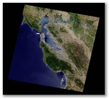
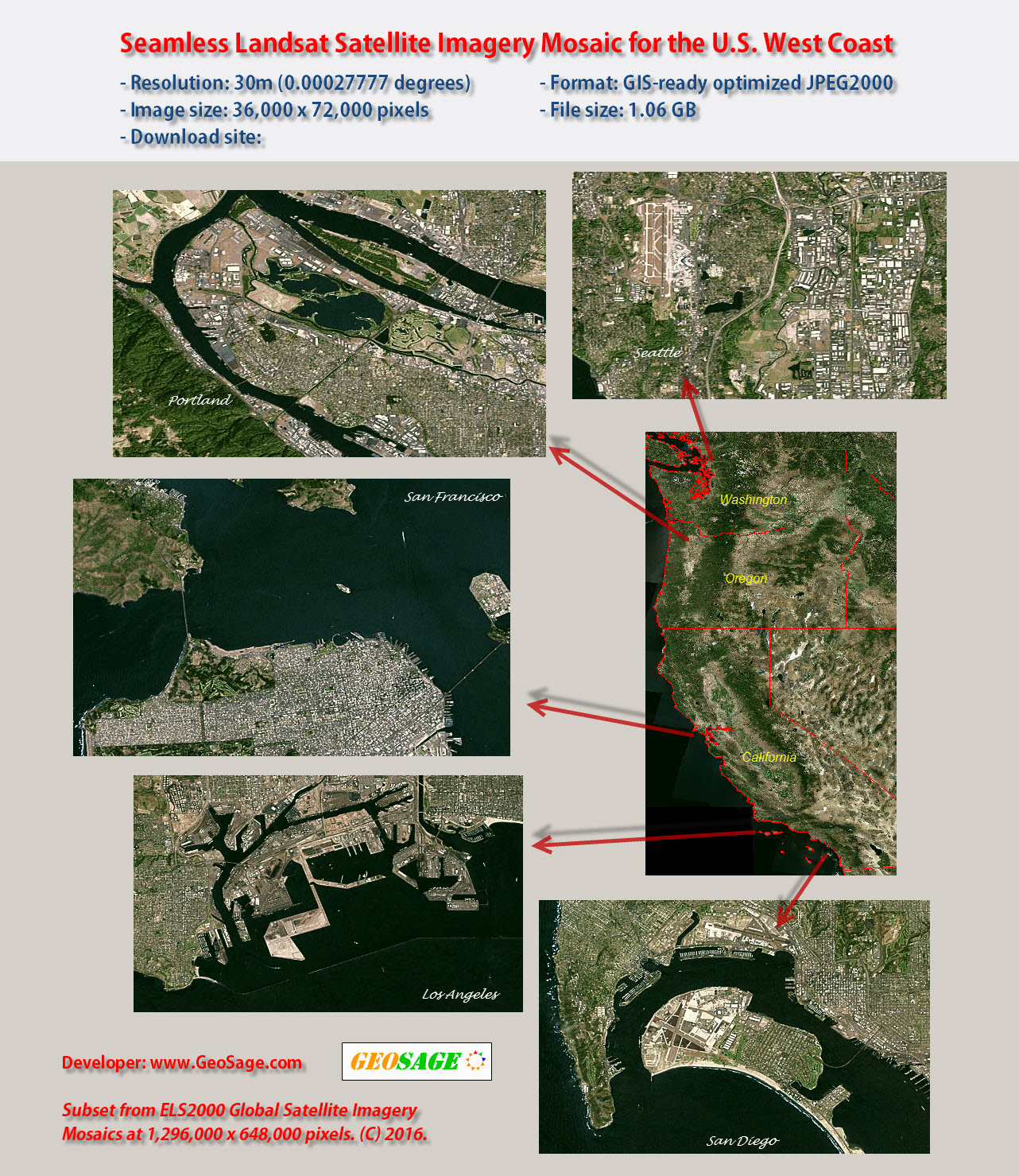
Large-sized sample extracted from ELS2000:
Seamless Landsat Satellite Imagery Mosaic for the U.S. West Coast including states of California, Oregon and WashingtonResolution: 30m (0.00027777 degrees)
Image size: 36,000 x 72,000 pixels
Projection: latitude/longitude WGS84
File format: GIS-ready optimized JPEG2000
Zip file size: 1.06 GB (1,147,112,193 bytes)
OverviewDownload link 1 (30m resolution, 1.06GB)
Download link 2 (90m resolution, 117MB)Through international collaborations, we are also offering uniquely-processed, easy-to-use NAIP state-level imagery mosaics at 1m-resolution for 48 contiguous U.S. States.
If you have any suggestions or feedback, please email us.