Spectral Discovery software provides unique and highly efficient tools for both adaptive image stretching and advanced image fusion. It has been developed specific to the latest and the best-quality public imagery sources, including those from NASA/USGS Landsat-8 satellite and ESA Sentinel-2 satellite.
1:
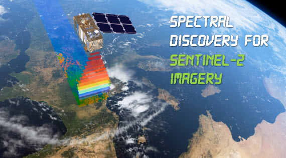
Spectral
Discovery for Sentinel-2 Imagery
 |
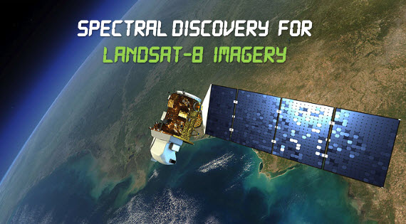
2: Spectral
Discovery for Landsat-8 Imagery
 |
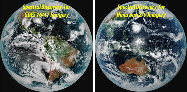
3: Spectral
Discovery for Geostationary Imagery
 |
4: For the latest high-resolution satellite and aerial imagery
We also offer image analysis research and dedicated software development for the latest high-resolution satellite and aerial imagery, including WorldView-4, WorldView-3, WorldView-2, Pléiades, SPOT 6 & 7, QuickBird, GeoEye-1, IKONOS, KOMPSAT-2, FORMOSAT-2, and ALOS. A brief introduction to image fusion is available. If you wish to have more information, please email us.
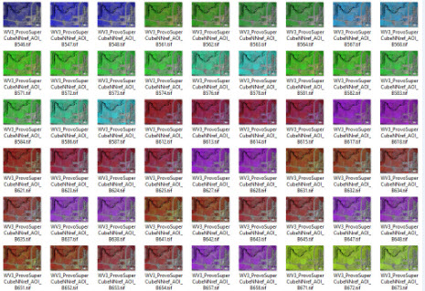
For example, developing rapid band combinations and image fusion tools for the very high resolution WorldView-3 imagery from DigitalGlobe. Sensing the invisible with WorldView-3's super-spectral bands: